Lyon County commissioners hear report on gravel mapping project
MARSHALL — A state program will be looking for sources of gravel and sand in Lyon and Murray county over the next year, Minnesota Department of Natural Resources staff said this week.
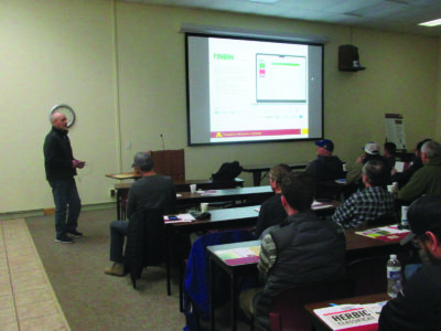
This week, Lyon County Commissioners heard an informational presentation about a mapping project underway in the two counties.
“The purpose of this map is to assist local governments in making sound land use decisions, kind of keeping aggregate potential in the back of your mind,” said Matthew Cameron, who is doing mapping work for the DNR.
Aggregates – materials like gravel and sand – are used for construction, recreational purposes like playgrounds and trails, and for building roads. Cameron said about half of all the sand and gravel consumed in Minnesota is used for publicly-funded projects.
“Lyon County has about 1,000 to 2,000 miles of road, which would need aggregate to repair and maintain,” he said.
Cameron and Heather Arends, both with the DNR, gave commissioners a little more detail about the Aggregate Resource Mapping Program (ARMP).
“The DNR was tasked by legislators, to identify and classify aggregate potential for local governments,” Cameron said. The ARMP produces maps and Geographic Information Systems data showing the locations of potential sources of gravel and sand within Minnesota counties.
In 2010, Lyon County passed a resolution requesting a study of possible gravel sources, Cameron said. Arends said the program had a funding hiatus from 2011 to about 2019.
Now, with funding from the Legislative-Citizen Commission on Minnesota Resources (LCCMR), Cameron is mapping sand and gravel deposits in both Lyon County and Murray County. The ARMP has also completed other studies in southwest Minnesota.
“Most recently, I just completed Yellow Medicine County, and then there’s also projects being done in Cook County and St. Louis as well. So we’re kind of taking a regional approach to it, doing the southwest of Minnesota and then the northeast,” Cameron said.
Cameron said the ARMP’s data not only maps where possible gravel deposits are within a county, but also the likelihood that those deposits will be useful.
“Basically your county will be divided up into four different categories, starting with ‘limited potential,'” Cameron told commissioners. At the other end of the scale would be high-potential areas, which would have a better probability of having sand or gravel deposits of good quality.
Cameron said he has been researching Lyon County’s history, and gathering existing data that would help in the mapping project. Other parts of the study include taking an inventory of gravel pits in the county, and looking at the area’s landforms.
“I’ve been driving around both Lyon and Murray County for probably the last five weeks,” Cameron said. “I’m trying to visit all the gravel pits, get a good idea of what they’re extracting and where, and then also just drive around and look for any exposures, or any insight into the subsurface.”
Cameron said the resulting map would tentatively be completed by the end of 2026. He would come back before the County Board to present the results, he said.
Local News
MHS concert band to host weekend show with military band
MARSHALL — The Marshall High School concert band will be hosting an honorable performance this Sunday, open to ...
Stopping fraud a priority as session gets underway
Area state legislators said proposals to address fraud in Minnesota state programs were a high priority in the ...
YMC water storage project receives $35k grant
An organization focused on flood control projects in southwest Minnesota, and a project to try and improve ...

New chapter for reading program
Bigger not always better when it comes to farm acres